
GPS navigation is the system that lets your car determine its position on Earth and use that information to guide you along a road.
At its simplest, the process looks like this:
GPS satellites → car's GPS receiver → calculated position → digital map → route → driving directions
The GPS receiver doesn't actually “see” roads or know that you're driving on a particular street. Satellites transmit precisely timed radio signals, and the receiver uses those signals to calculate its position. The navigation system then matches that position to digital map data to determine which road you're on.
That's an important distinction because GPS provides positioning, while the navigation software provides the map and directions.
What Is GPS Navigation in a Car?
GPS navigation is an in-car system that combines satellite-based positioning with digital maps and navigation software to determine where the vehicle is and calculate a route to a destination.
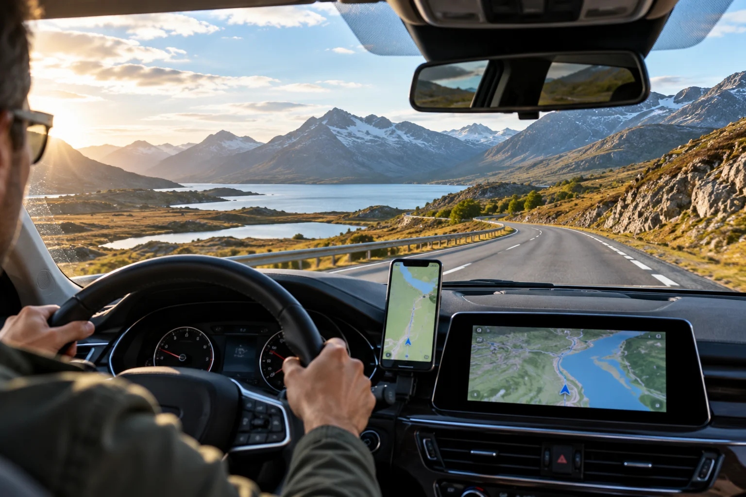
A typical system contains several key components:
GPS/GNSS receiver: receives signals from navigation satellites.
Antenna: captures the satellite signals.
Navigation computer: calculates the vehicle's position and route.
Digital map database: contains roads, intersections and places.
Display: shows the vehicle's position and directions.
Vehicle sensors: may provide additional information about movement and direction.
GPS.gov describes GPS as a positioning, navigation and timing system consisting of space, control and user segments. The user segment includes receivers that calculate a three-dimensional position and time from satellite signals.
Modern cars may also use other satellite-navigation constellations in addition to GPS. The general technology is therefore often called GNSS, or Global Navigation Satellite System.
How Does a Car GPS Know Where You Are?
Your car calculates its position by measuring the travel time of radio signals from satellites.
GPS satellites continuously broadcast information that includes their position and precise timing. Because radio signals travel at a known speed, the receiver can estimate how far away each satellite is by measuring how long the signal took to arrive.
The basic relationship is:
Distance = signal speed × travel time
The receiver performs this calculation for multiple satellites and combines the results to determine its position.
This is called trilateration.
It isn't the same as triangulation. Triangulation traditionally uses angles, while GPS positioning primarily determines distances from known satellite positions. GPS.gov explains the basic positioning concept as determining a location from distances to known points.
How Many Satellites Does a Car Need for GPS?
A GPS receiver generally needs signals from multiple satellites to calculate its position accurately.
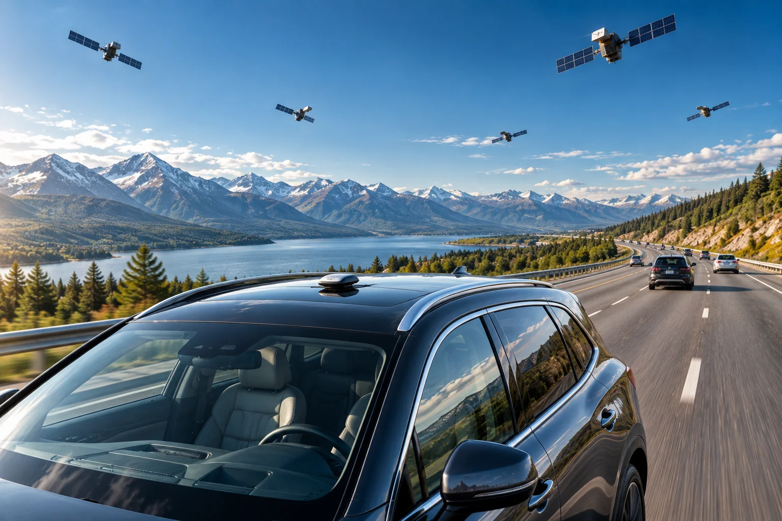
GPS.gov explains that signals from at least three satellites can establish a basic three-dimensional position in its educational explanation, while practical GPS receivers commonly use four or more satellites to resolve position and receiver-clock timing together.
The more useful satellites a receiver can observe, and the better their geometry in the sky, the more reliable the positioning solution can be.
GPS satellites operate in medium Earth orbit at approximately 20,200 km above Earth and circle the planet roughly twice per day. The GPS constellation is designed to provide worldwide coverage.
Does GPS Know Which Road Your Car Is On?
Not by itself.
This is one of the most misunderstood parts of car navigation.
The GPS receiver might determine that the car is approximately 15 meters from a particular point on Earth. It doesn't inherently know that the point corresponds to “Main Street.”
The navigation system takes the calculated coordinates and compares them with its digital map database.
For example:
GPS position: 40.7128° N, 74.0060° W
Map database: identifies a road at or near those coordinates
Navigation software: determines that your vehicle is traveling along that road
This process is sometimes called map matching.
That's why a navigation system can occasionally show your car on the wrong road even when the GPS hardware is functioning correctly. GPS.gov specifically notes that incorrect mapping information can cause wrong locations or directions in consumer navigation devices.
Why Does the GPS Location Sometimes Jump Around?
GPS positioning isn't perfectly precise.
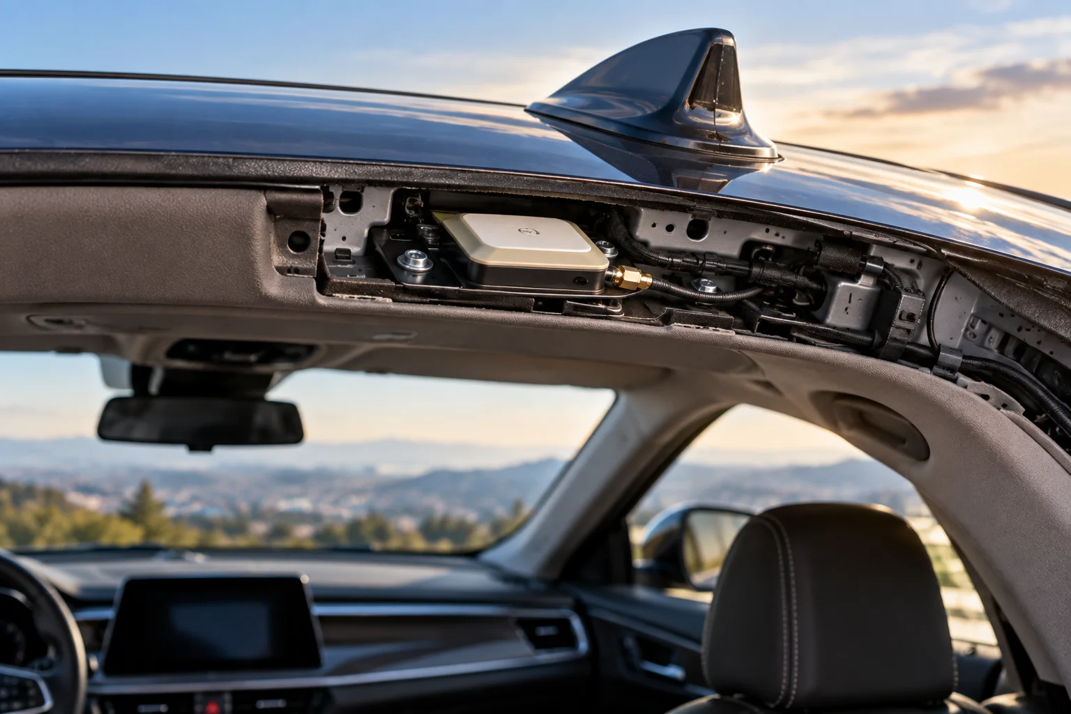
GPS.gov says positioning accuracy depends on factors including satellite geometry, atmospheric conditions, signal blockage and receiver design. Buildings, bridges and trees can block signals, while reflections from buildings can create multipath errors.
This is why your car might occasionally appear slightly off the road.
Urban environments can be particularly challenging because satellite signals can bounce off tall buildings before reaching the antenna.
The navigation software can compensate to some extent by considering the road network and the vehicle's recent movement.
How Does the Car Know Which Direction You're Driving?
GPS positioning provides movement information, but a car's navigation system can also use vehicle sensors.
Depending on the vehicle, these may include:
Wheel-speed sensors
Steering-angle information
Gyroscopes
Accelerometers
Compass information
Combining these sources can help the navigation system maintain a position estimate when satellite reception temporarily becomes weak.
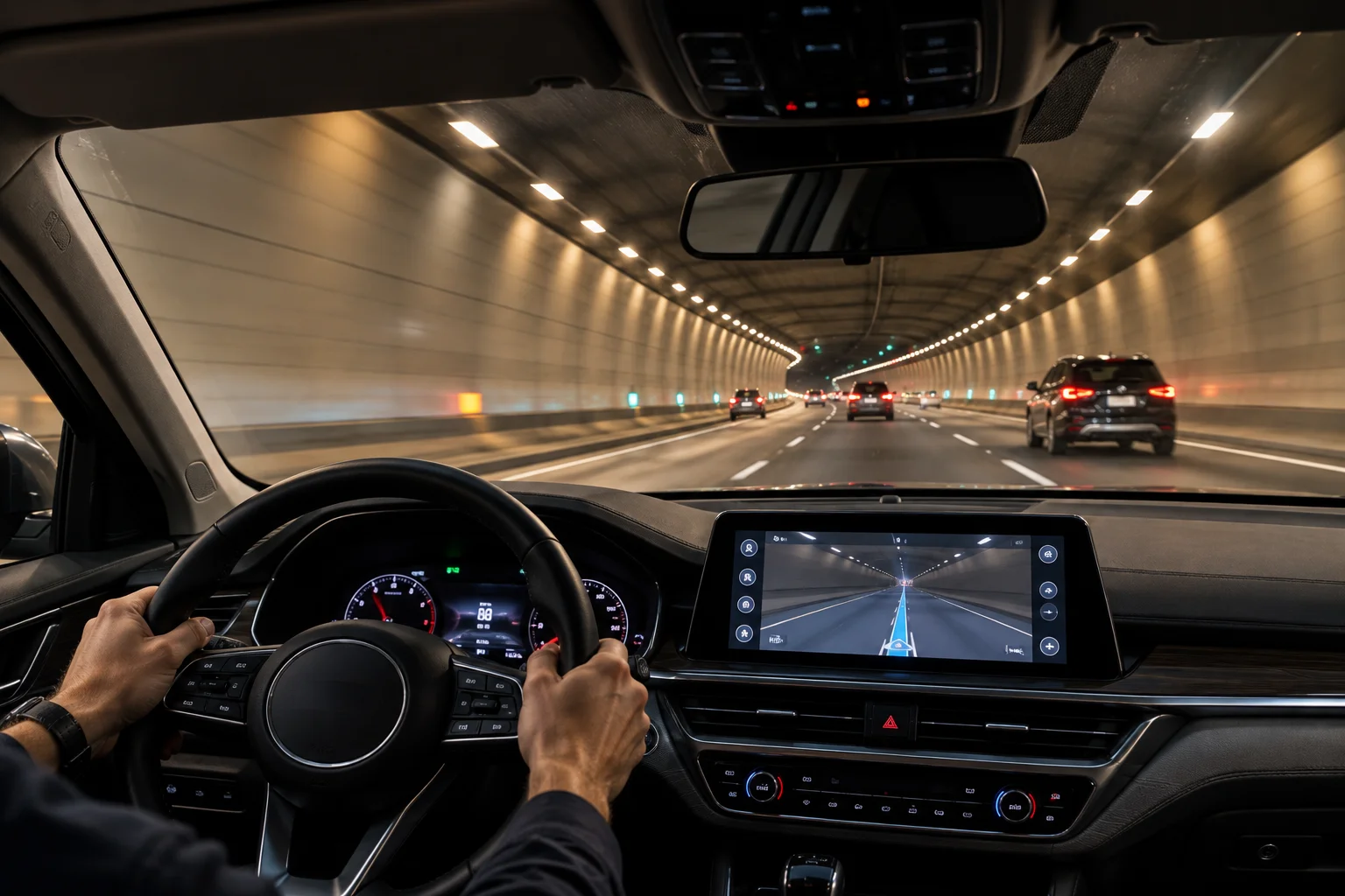
For example, if you drive through a tunnel, the GPS signal can disappear. The vehicle may still have information about its speed and direction, allowing the navigation system to estimate where you are until satellite reception returns.
This broader process is sometimes called dead reckoning or sensor-assisted positioning.
Does Car GPS Need the Internet?
Basic GPS positioning does not require an internet connection.
GPS satellites transmit signals directly to the receiver in the car. The receiver can calculate its position from those signals without sending a request to the satellites or needing a cellular data connection. GPS.gov describes GPS satellites as broadcasting one-way signals and specifically notes that the satellites themselves don't track devices on the ground.
However, navigation features can require connectivity.
For example, an online navigation system may use the internet for:
Live traffic information
Road closures
Current business information
Cloud-based map updates
Weather information
Online route data
So you can have:
GPS without internet
and still have:
online navigation features that require internet access.
How Does GPS Navigation Calculate Your Route?
Once the system knows approximately where you are, the navigation software compares your position with its digital road network.
When you enter a destination, the software searches the available roads and calculates a route between your current position and that destination.
The route can take factors such as these into account:
Road distance
Road restrictions
One-way streets
Turn restrictions
Road classifications
Estimated travel time
Traffic information, when available
The navigation system then converts that route into instructions such as:
“Turn right in 500 meters.”
GPS itself doesn't generate that instruction.
The navigation software interprets your GPS position against the digital road map and determines what instruction should be displayed or spoken.
Why Does GPS Navigation Need Maps?
GPS tells the car where it is, but maps tell it what is around that position.
Without map data, a GPS receiver could calculate coordinates but wouldn't know which roads, buildings or intersections correspond to those coordinates.
That's why navigation systems consist of more than satellite reception.
A useful way to think about it is:
GPS = Where am I?
Map = What's around me?
Navigation software = Where should I go next?
Traffic service = What's happening on the roads right now?
Keeping these functions separate makes the entire system much easier to understand.
Why Can Car GPS Work in a Tunnel Sometimes?
A traditional GPS receiver cannot normally receive satellite signals properly deep inside a tunnel.
Yet the navigation display may continue showing your vehicle moving.
That's because the car can estimate movement using other information, such as wheel speed, direction and previously calculated position.
Once the vehicle exits the tunnel and satellite signals become available again, the navigation system can update its position.
The exact approach depends on the vehicle and navigation system.
How Accurate Is GPS in a Car?
Under open-sky conditions, consumer GPS positioning can typically be accurate to within several meters, although actual accuracy varies considerably.
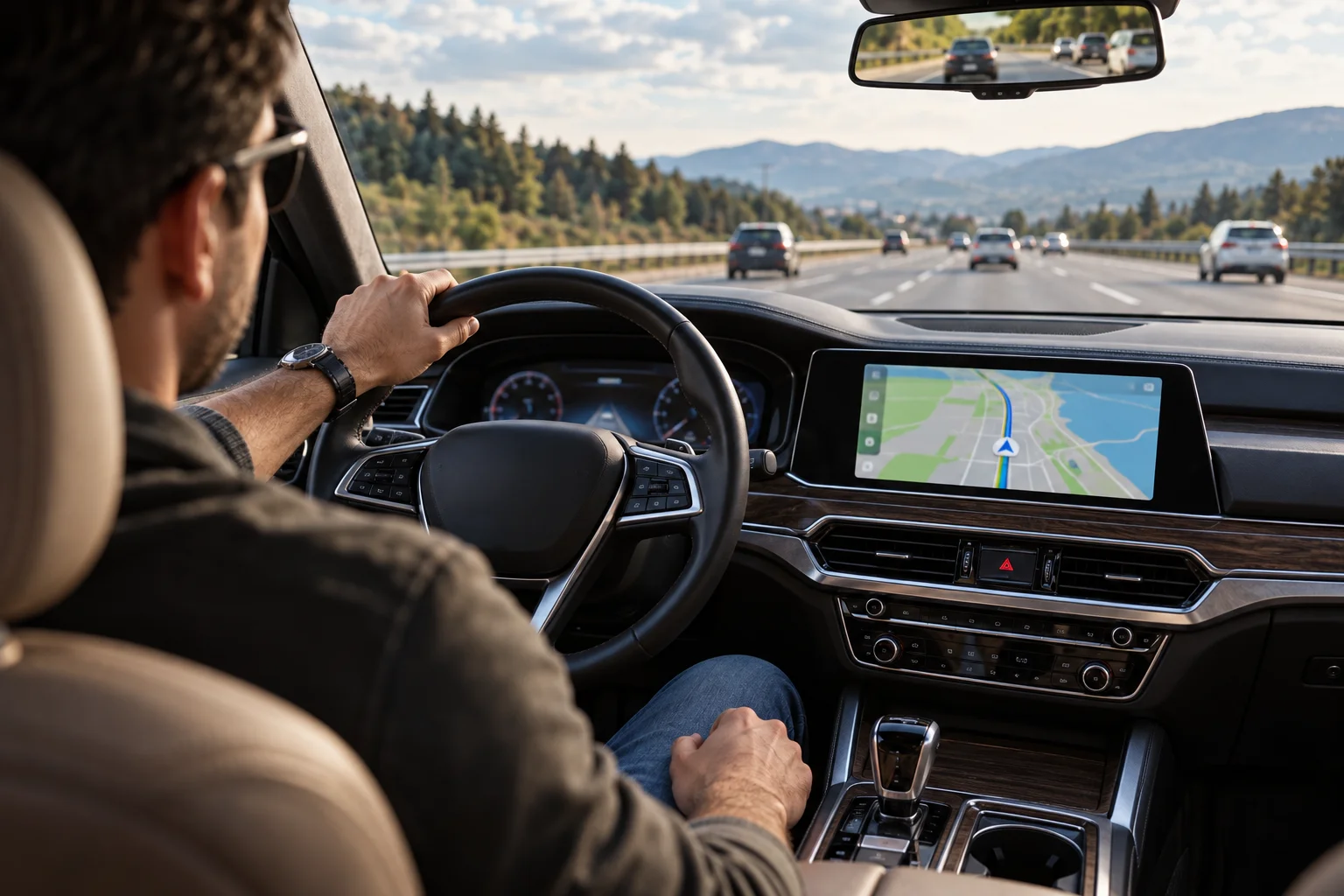
GPS.gov gives a typical smartphone accuracy of approximately 4.9 meters under open sky, while noting that accuracy can worsen near buildings, bridges and trees. Receiver design and local conditions also affect the result.
A car navigation system may therefore occasionally place the vehicle slightly away from the exact lane or road position even when everything is functioning normally.
Higher-end positioning systems can achieve substantially greater accuracy using techniques such as dual-frequency reception and augmentation systems.
FAQs About GPS Navigation in Cars
Does a car GPS work without mobile data?
Yes. The GPS receiver can calculate your position directly from satellite signals. However, online navigation features such as live traffic and some map services may require an internet connection.
Can GPS satellites see my car?
No. GPS satellites broadcast signals; they don't receive location information from your car. The receiver in the vehicle calculates its own position.
Why does my car GPS show the wrong road?
The cause can be GPS positioning errors, signal reflections or inaccurate map data. Buildings and other obstructions can reduce positioning accuracy, while incorrect map information can also produce wrong directions.
Does GPS work inside a tunnel?
Satellite reception can be lost inside tunnels. The vehicle may temporarily estimate its position using other sensors and movement information, depending on the navigation system.
Is GPS the same as Google Maps?
No. GPS is a positioning technology. Google Maps is a mapping and navigation service that can use GPS and other location technologies to determine your position and provide directions.
The Bottom Line
Your car's GPS doesn't actually know where you are in the way a person would. It calculates your position from satellite signals.
The receiver measures signals from multiple satellites, estimates its distance from them and uses those measurements to calculate its position. Navigation software then compares those coordinates with digital map data to determine which road you're on and where you should go next.
That distinction explains almost everything about car navigation:
Satellites determine your position.
Maps identify the roads.
Navigation software calculates the route.
Vehicle sensors can help maintain positioning when GPS reception becomes unreliable.
And when you see traffic warnings or a route changing because of congestion, that's an additional layer of connected data rather than GPS itself.